Skip Navigation
Mapping for people, not cars
  • @YurkshireLad

    You may find some of them listed on the wiki: https://osm.org/wiki/Software/Mobile, but that's probably incomplete.

    @cerement

  • A nearby city call these crossings as "Gora¹ Lanes", an attempt to make walking fun, attractive, and accessible to more people.
  • @openstreetmap

    I just learned that apart from the official meaning of "Gora" cited in the original toot, apparently, it appears to be a nod towards the argot of the @pinoy #LGBQT community, meaning "Let's go."

    :lgbtqosm:

  • A nearby city call these crossings as "Gora¹ Lanes", an attempt to make walking fun, attractive, and accessible to more people.
  • @mannivu

    I agree. It's typical in OSM to use a generic "yes" when a mapper isn't sure about the "right" value just yet, and get back to it later, or maybe the next mapper can figure out a better value.

    That's a specific case when I find the image=*, or mapillary=* tags and the like, very helpful. Usually, these are used to tell other mappers what the previous mapper saw from the photo.

    In JOSM these are turned into links you can view, but not sure how it works in iD.

    @openstreetmap

  • A nearby city call these crossings as "Gora¹ Lanes", an attempt to make walking fun, attractive, and accessible to more people.
  • @zephr_c

    Well, unfortunately, what we see on the ground (and try to map in #OpenStreetMap ) is not necessarily always what we (or the locals) wanted, or hope to ever see.

    Hopefully, it's a work in progress, and they get around to fixing more essential things. 🤞

  • A nearby city call these crossings as "Gora¹ Lanes", an attempt to make walking fun, attractive, and accessible to more people.

    A nearby city call these crossings as "Gora¹ Lanes", an attempt to make walking fun, attractive, and accessible to more people.

    From the screenshot² below, it's something like an arty zebra (or "continental") crossing, and I saw minimal use of crossing:markings=artwork in #OpenStreetMap, and taggable with crossing:markings=yes.

    I wonder how you folks might tag it.

    ¹ - Gora is an acronym from "Green Open Reclaimed Access" ² - Source: screenshot, https://yewtu.be/lKMFjLcTVkQ?t=59

    @openstreetmap

    17
    When mapping street addresses in #OpenStreetMap, the minimum tag you probably need is addr:housenumber and addr:street, or maybe addr:place.
  • @Mannivu

    I agree that it could be used for initial mapping, and interpolation makes it "work" in some fashion -- at the very least, one gets close enough to the area you want to.

    That's slightly better than having no mapped addresses, or mapping individual address POIs, without interpolation.

  • When mapping street addresses in #OpenStreetMap, the minimum tag you probably need is addr:housenumber and addr:street, or maybe addr:place.

    When mapping street addresses in #OpenStreetMap, the minimum tag you probably need is addr:housenumber and addr:street, or maybe addr:place.

    In this example, house numbers 971 and 977 are the only two points actually mapped, and connected by a way tagged with addr:interpolation=odd.

    The geocoder still returned the estimated position for the unmapped housenumber, 975.

    Read about interpolation here: https://osm.org/wiki/Addresses#Interpolation

    It's a quick method for adding street addresses in @openstreetmap

    3
    Have you been receiving unsolicited messages in your #OpenStreetMap inbox?
  • @can

    Hahaha. I think, the only messaging platform where I haven't gotten any spam is #Signal. 🤞🏼

  • Have you been receiving unsolicited messages in your #OpenStreetMap inbox?

    Have you been receiving unsolicited messages in your #OpenStreetMap inbox?

    Well, it seems like this feature has been quietly introduced recently: "mute this user" link is now available for every @openstreetmap user page.

    5
    When editing #OpenStreetMap on the go, @everydoor is my hands-down favorite, but I'd hesitate recommending it for more new mappers.
  • @strypey

    POIs in general are hard to maintain. Even Big G is struggling with that on their maps.

    Theme-specific POIs are probably slightly better, when there are interested parties who are keen to maintain them, or keep them up-to-date.

    If you don't like to map them directly yourself, when you're on site, then you're next bet is to use fresh (and compatible) ground imagery, to map them when you can.

    @openstreetmap @everydoor

  • When editing #OpenStreetMap on the go, @everydoor is my hands-down favorite, but I'd hesitate recommending it for more new mappers.
  • @Mannivu
    And EveryDoor has an existing issue with certain features (e.g. memorial plaques) getting unwantedly snapped on nearby buildings.

  • When editing #OpenStreetMap on the go, @everydoor is my hands-down favorite, but I'd hesitate recommending it for more new mappers.

    When editing #OpenStreetMap on the go, @everydoor is my hands-down favorite, but I'd hesitate recommending it for more new mappers.

    I've been playing with #OsmGo just now, and really like how easy it is, maybe even for new contributors.

    Plus, it's a progressive web app that runs in a browser, or installable in your device: https://osmgo.com , so this also seems to be a great candidate tool to introduce as a friendly editor for @openstreetmap mapping parties for new users.

    16
    If you're an #OpenStreetMap contributor, and active in the #Fediverse, where do you check for unexpected downtimes?

    If you're an #OpenStreetMap contributor, and active in the #Fediverse, where do you check for unexpected downtimes?

    You can follow the OSM Ops Team: @osm\_tech for technical updates.

    @openstreetmap

    1
    MapAmore MapAm💜re @en.osm.town

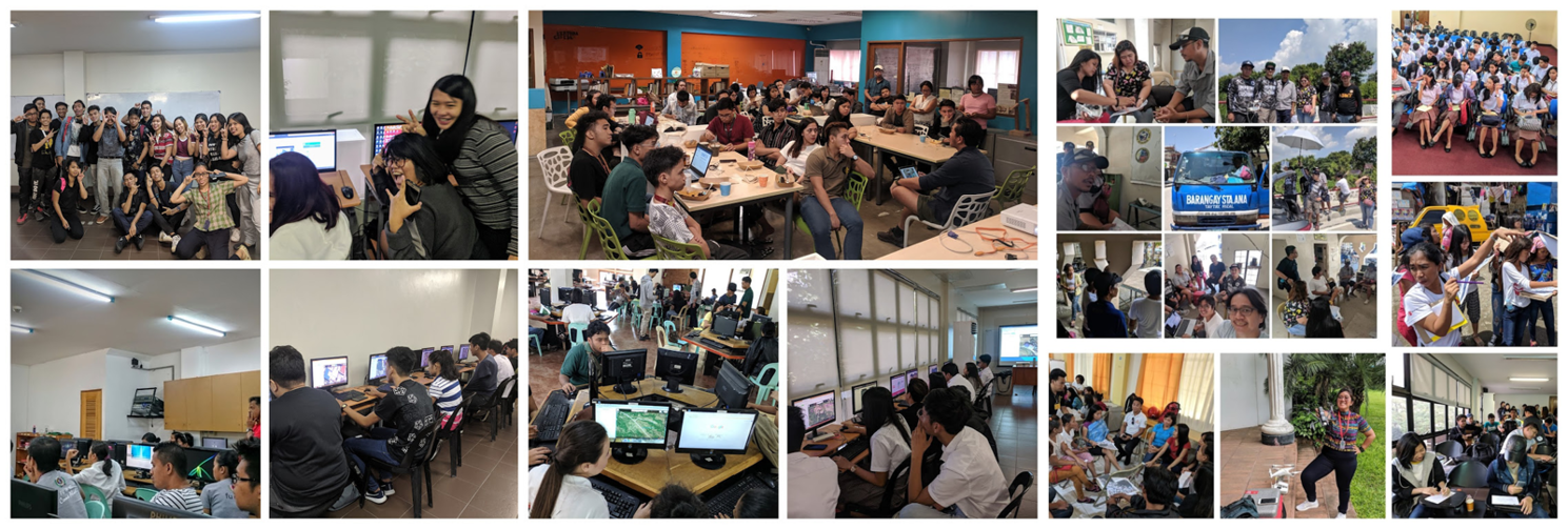
    We are a social advocacy project that organises geo/map-py events; designs & implements training workshops, generates #tech4good awareness, actively pledges open data sets, as we vivify diverse volunteers to vitalize map-py local communities across the Philippines.

    \#OpenStreetMap is @OSM!

    Posts 6
    Comments 11